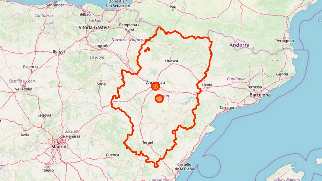
The topography of Aragon is a technical masterclass in verticality and extreme terrain. Situated in northern Spain, bordering France to the north and the Pyrenees acting as a natural spine, this region is less a mere destination and more a series of high-stakes physical challenges. Whether navigating the claustrophobic bottlenecks of deep canyons or managing the thin air of the high Pyrenees, the landscape demands a specific kind of preparedness.
Verticality in the Ordesa Valley
For those testing their cardiovascular limits, the Ordesa Valley—the heart of the Ordesa y Monte Perdido National Park—presents a scale reminiscent of California’s Yosemite. This UNESCO World Heritage site is defined by vertical rock walls and a landscape of intense color. The technicality of the valley is best understood through the Senda de los Cazadores, a panoramic trail that requires steady footing and high endurance to navigate toward the famous Cola de Caballo waterfall.
A full circuit through the valley, involving the high-altitude path in and the more moderate valley floor on the return, totals nearly 21 kilometers with a punishing 800-meter vertical ascent. For those seeking a more manageable pace, the standard valley floor route provides access to impressive waterfalls, though it lacks the sheer drama of the high-altitude ridges. Logistics are a factor here: during peak months from June to November, the Pradera de Ordesa trailhead is accessible only via a shuttle bus from Torla-Ordesa.
The Parrizal Chokepoint
If Ordesa is about scale, the Estrets del Parrizal is about precision. This narrow gorge offers a claustrophobic experience that tests a traveler's composure. The terrain forces you into a 200-meter-long corridor where the walls rise 60 meters high, at certain points constricting the path to a mere 1.5 meters in width.
The route utilizes wooden walkways to navigate the Rio Matarrana, leading past the ancient Fenellassa cave paintings. It is a highly controlled environment; the trail is subject to immediate closure during inclement weather, and access requires a pre-purchased ticket (€12 for adults). The trek is an eight-kilometer loop with a relatively modest 100-meter elevation gain, yet the sheer verticality of the surrounding rock creates a high-tension atmosphere.
High-Altitude Stakes: The Pyrenean Apex
The Pyrenean sector of Aragon serves as the ultimate benchmark for summiting. In the village of Benasque, the landscape transitions from picturesque stone streets to the highest technical challenges in the region. The gold standard for mountaineers is the Pico de Aneto, standing at 3,404 meters as the highest peak in the Pyrenees.
Beyond Aneto, the region offers a tiered hierarchy of high-altitude objectives:
- Ibones de Anayet: A group of glacial lakes in the Tena Valley, accessible to those with surefootedness.
- Pico Anayet: A 2,574-meter ascent offering views of the surrounding glacial lakes.
- Ibón Azul Inferior: A high-mountain lake reached via the demanding trek from Refugio Casa de Piedra to Refugio de los Ibones de Bachimaña.
Structural Fortifications: The Stone Legacy
Aragon’s landscape is not merely natural; it is defined by centuries of defensive engineering. The town of Albarracín, home to approximately 1,000 residents, is a study in strategic positioning. Built upon a rock massif almost entirely enclosed by the Rio Guadalaviar, the town is protected by the Murallas de Albarracín—a 10th-century defensive system that includes the Castillo de Albarracin and the Church of Santa Maria.
Further east, Teruel offers a different kind of structural complexity. As a UNESCO World Heritage site, it is renowned for its Mudéjar architecture, a fusion of Islamic and Christian styles visible in the Kathedral de Teruel and the towers of San Pedro, San Martín, and El Salvador. The city's history is equally heavy, marked by the legendary story of the 13th-century "Lovers of Teruel" preserved in its local museum. Even the local culinary markers, such as the Jamon de Teruel, are branded by the distinct eight-pointed Teruel star, tying the region's identity to its geography.
Sources
These sources formed the evidence pack for this article. Links open the original publisher; inclusion does not imply endorsement.
- phototravellers.de original
- aragon.de original
- aragon-gmbh.com original
- reisen-nach-spanien.com original